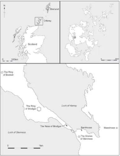
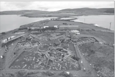
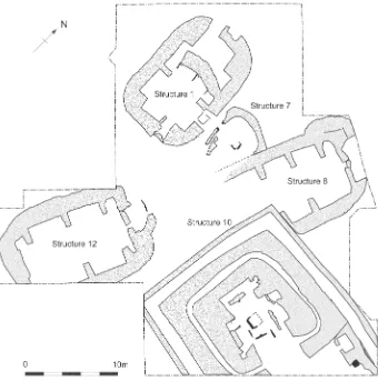
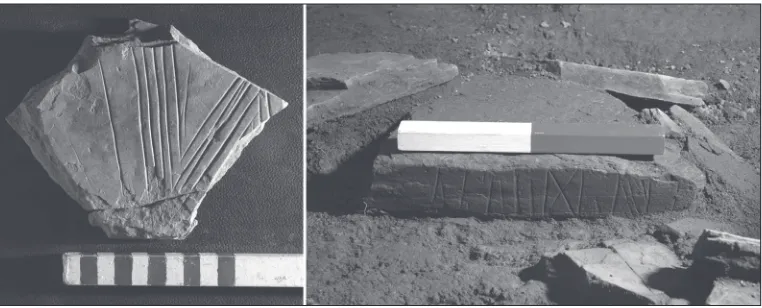
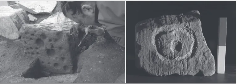
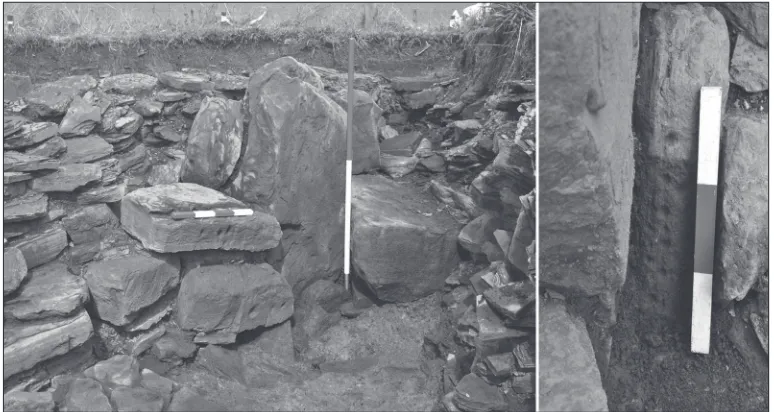
Painting a picture of Neolithic Orkney : decorated stonework from the Ness of Brodgar
Full text
Figure
Related documents
Specification requirements vary with the proposed end-use; hence rock crushed for use as sealing aggregate is required to meet more stringent test criteria than that accepted as
Intervention effects with respect to ‘ PTA ’ , ‘ INFO ’ , ‘ SAFED ’ , clinical patient outcomes, and health-related quality of life were estimated using general- ised
The objective of this study was to assess the impact of implemented periodic safety update report (PSUR) system in our hospital via PSUR function assessment questionnaire (PFAQ)
The optimized MWPA was concentrated and extracted using ethyl acetate and was further determined for its antimicrobial properties against Gram positive and Gram negative bacterial
19% serve a county. Fourteen per cent of the centers provide service for adjoining states in addition to the states in which they are located; usually these adjoining states have
The objective of this study was to develop Fourier transform infrared (FTIR) spectroscopy in combination with multivariate calibration of partial least square (PLS) and
The ethno botanical efficacy of various parts like leaf, fruit, stem, flower and root of ethanol and ethyl acetate extracts against various clinically
“Comparison of impervious surface area and normalized difference vegetation index as indicators of surface urban heat island effects in Landsat imagery.” Remote Sensing
