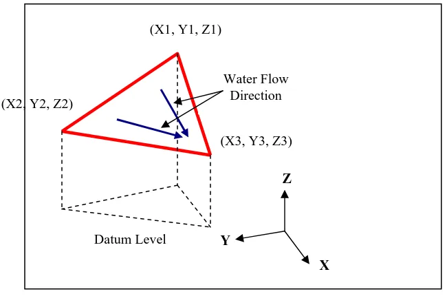
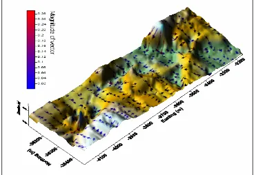
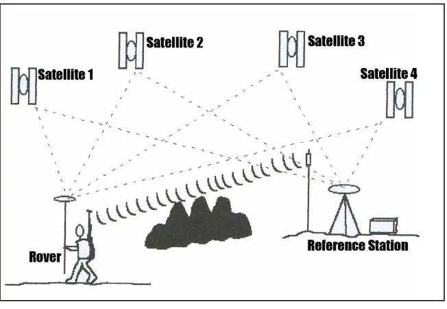
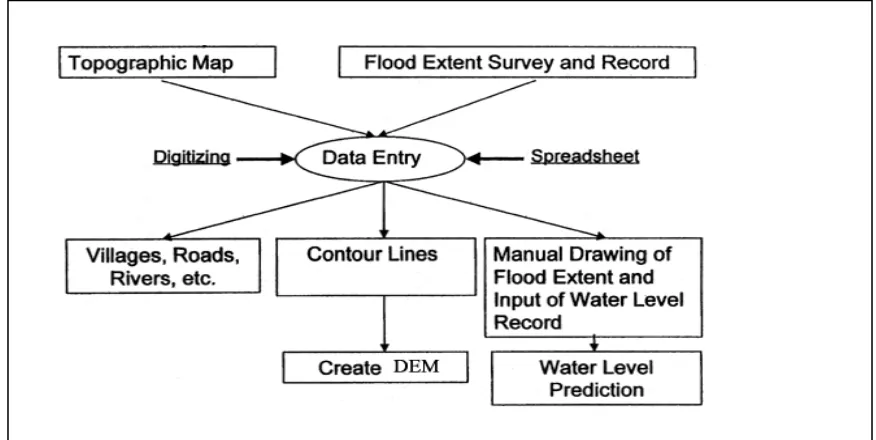
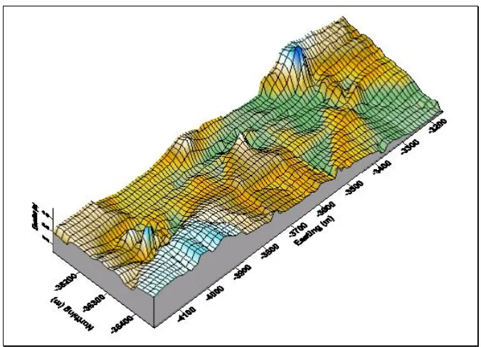
The integration of Global Positioning Systems (GPS) and surveying packages for near real-time flood monitoring system
Full text
Figure


Related documents
d The proportion of ssDNA-positive AECIIs with the CADM1 α -shedding rate ( left ) and the full-length CADM1 level per epithelial cell ( right ) are shown in a scatter plot.. In
In what follows, it will be argued that products which make an individual’s credit score an object of consumption and equip credit consumers with the capacity to
The indirect relationship between PsyCap and job insecurity, through perceived employability, is moderated by workers’ type of contract: in particular, the indirect relationship
Compared to the Katz-Wang technique, our two refined approaches do not only improve the performances of the resulting IBE schemes but also enable a reduction algorithm to deal
Barriers to the participation of people with psychosocial disability in mental health policy development in South Africa: a qualitative study of perspectives of policy
ACT: Activated clotting time; AN69: Polyacrylonitrile; AN69ST: Polyacrylonitrile (surface treated); CL ad : Adsorption clearance; CL f : Filtration clearance; CRRT: Continuous
When we considered the impact of obesity on life expectancy in the 26 European countries, we found that without obesity, the increase in e 0 between 1975 and 2012 would have
CVD: Cardiovascular disease; Hb: Haemoglobin; HbA1c%: Glucosylated haemoglobin; HDL: High density lipoprotein; hsCRP: High sensitive C-reactive protein; LDL: Low density
