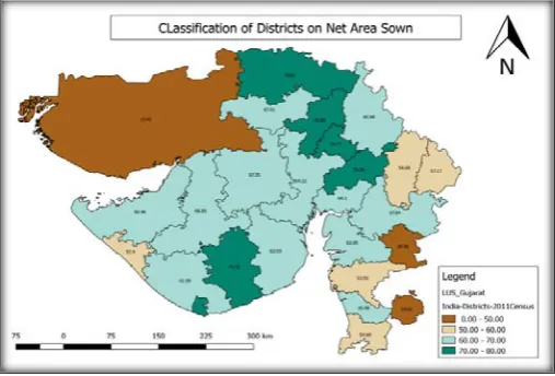
A Study and Analysis of Land Use Classification using Geographical Information System
Full text
Figure


Related documents
In a seminal case from the Southern District of California adopting section 552, a contractor sued an architect for negligent misrepresen- tation. 147 The district court
OFDM has many benefits, but high Peak-to-Average Power Ratio [PAPR] limits its performance.. because OFDM subcarriers are large with high
Methods: This was a cross sectional study in which we determined foetal haemoglobin levels and examined the relationship between HbF levels and disease severity in SCA patients
In this work we analyzed a breath sounds signals using empirical mode decomposition with Hjorth descriptors (Activity) and Permutation entropy as features, were extracted from each
Having decided to limit the sale of Cerberus ECO prod- ucts to China in the first instance, the SBT management team chose not to employ the existing direct sales force via its
To understand better the factors which impact on the economy of the investment of information systems and selection of an IT reference as well as actions susceptible
the relevant nano-form and also evaluation of whether nano-waste should be scheduled as hazardous waste and prioritise investigation to tackle security measures as
The meaning of the classification efficiency curve is the rate of a particle of a certain size flowing from the feeding inlet of the hydrocyclone and leaving from the underflow of