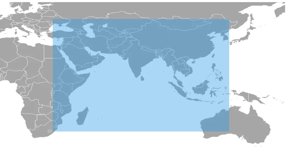
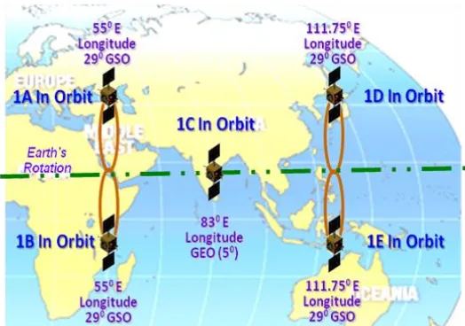
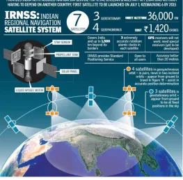
Indian Regional Navigation Satellite System
Full text
Figure
Related documents
1) Admission to Schoolcraft College. 2) Review and meet all requirements on this application. Program requirements are subject to change. 3) Submit appropriate transcripts
This series consists of correspondence of the various Directors and Deans of the Institute and Faculty of Public Health, as well as some of their Division Chiefs, especially the
With current graphic card technology, we can take advantage of
Keywords - Ad Hoc Network, MANETs, on-demand Routing Protocol, AODV, NDTAODV, SAODV, RREQ Flood Attacks, Security, Performance Analysis, Route Request (RREO), Packet
In incremental distance mode: when the XY-plane is selected, X, Y, and R numbers are treated as increments to the current position and Z as an increment from the Z-axis position
When we considered the impact of obesity on life expectancy in the 26 European countries, we found that without obesity, the increase in e 0 between 1975 and 2012 would have
The following keywords and their combinations were adopted: orphan diseases, rare diseases, neglected dis- eases, health technology assessment, HTA, pharmacoe- conomics,
systems or in the Rites of the Order and the Illuminati Societas OTO Masonic Rites and some as Masonry Egyptian Ancient and Primitive Rite of
