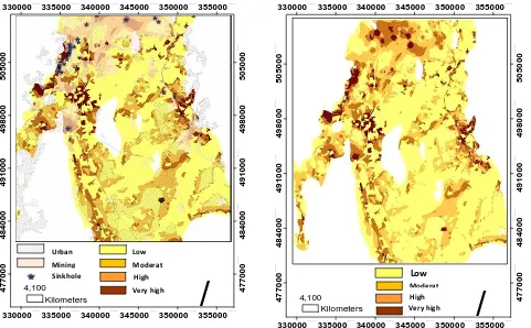
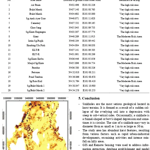
Geospatial Modeling for Sinkholes Hazard Map Based on GIS & RS Data
Full text
Figure


Related documents
Again, 23% respondents are very satisfied about the overall satisfaction level about this pre-approved credit card facility, in other words, among these people, 12%
Abstract: Division I of the Washington State Court of Appeals misapplies Washington's Criminal Records Privacy Act (CRPA) in determining whether entire files of
Cool the extract and quantitatively transfer the solution to a 100 mL volumetric flask and adjust the volume to the mark with ethanol-free water. Filter turbid solutions and
In this study, we first divided DRDPF into single-, double-, or three- column DRDPF, which included volar, dorsal, split, and collapse type, and the radius column fracture, which
In our systems, fourteen features functions were used, namely phrase and lexical translation probabilities in both directions, seven features for the lexicalized distortion model,
First-line treatment with fludarabine, cyclophosphamide, and rituximab improves overall survival in previously untreated patients with advanced chronic lymphocytic leukemia:
The building elements must be created using the correct tools (Wall tool, Slab tool, etc.). If the features of BIM authoring tool are not sufficient for modelling the element,

