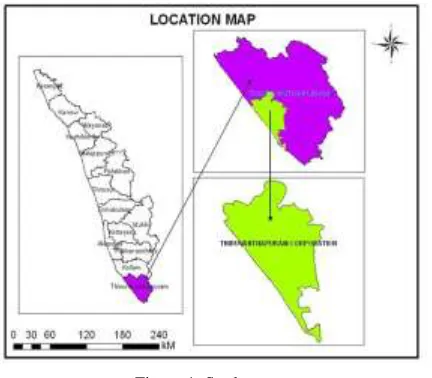
Identification of Urban Heat Island using Satellite Imageries
Full text
Figure


Related documents
10 We also showed that PPI reduced growth of human CRPC cells through inhibition of the Figure 2 PPI suppressed lncRNA HOTAIR levels and increased c-Jun protein expression and
To summarise, the two Gambia Environment Action Plans (GEAP I & II) aim to conserve and promote the sustainable use of natural resources in the Gambia and set the required
Patients in our sample with severe PLMS had higher estimated cardiovascular and cerebrovascular risk scores in the Tx group and higher cardiovascular risk score in the WL group
“Conversion of non-electrical properties into usable electrical signals and the control of machines and motor drives are also key topics, in the training of mechatronics engineers
23 The Kokanee Glacier Provincial Park and Recreation Area Master Plan (1990) states that the Keen Creek Road is open to mechanized conveyances... Kokanee Glacier Provincial
Prof Iiris Aaltio, School of Business and Economics, University of Jyväskylä, Finland; Prof Tindara Addabbo, Department of Economics Marco Biagi University of Modena & Reggio
Factors associated with anxiety and depression among type 2 diabetes outpatients in Malaysia: a descriptive cross-sectional single-centre study.. Kurubaran Ganasegeran, 1
Koh et al.. 65 mL/min/1.73 m 2 ), the presence of chronic diseases (diabetes, hypertension, ischemic heart disease, or stroke), and quartiles of blood Mn levels (first lowest
