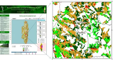
Development of a Web Based GIS Application for Spatial Natural Resources Information System Using Effective Open Source Software and Standards
Full text
Figure


Related documents
Furthermore, participants were significantly more likely to fail to respond to the reaction time stimuli if engaged in concurrent text messaging whilst text completion times
obtaining healthy temporary or permanent teeth when they are extracted for treatments such as orthodontics makes dental stem cells an attractive source for autologous transplant as
Interestingly, 9 documents (more than those making reference to professional boundaries) discussed the potential benefits and opportunities of social media (NCSBN, n.d; NCSBN,
Means significant differences for each measurement of stock liquidity which are bid- ask spread, depth, trading volume, and trading time before and after the event is
The influence of Japanese kimono on European bustles and their representation in the paintings of the late nineteenth century.. I RIA R OS P IÑEIRO (University of Valencia,
The artistic area should be ready with supplies when the teens arrive and should have plenty of table space for each teen to work.. Print out the passage and quotes and place them
Undefined operation if using building copper pipe or safety ground wiring as counterpoise!. MFJ-931 Artificial Ground – loads a short