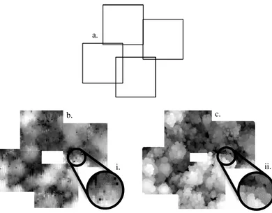
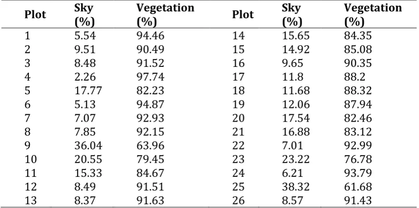
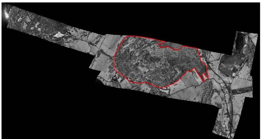
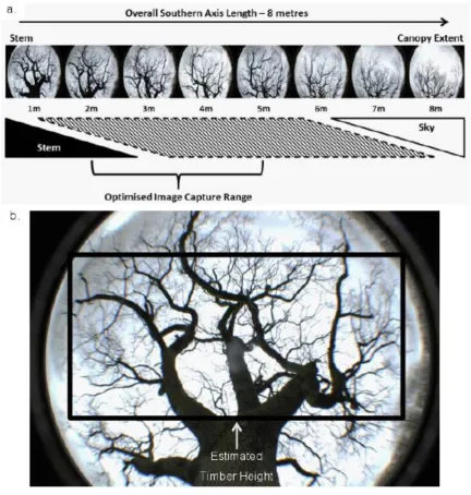
Remote sensing tools for the objective quantification of tree structural condition from individual trees to landscape scale assessment
Full text
Figure


Related documents
After opening a workbook and clicking on a worksheet to execute the query, you may export the report to a file. To export the report, click
will supply, at no charge, a replacement in exchange for defective parts manufactured by 3rd party suppliers, for period of (90) days from date of purchase.. (Certain
350< CD4+< 200 months pts 200< CD4 or AIDS pts Median=15.6 Median=32.4 0 1 2 3 4 5 6 Hepatitis C Hepatitis B Syphilis Gonorrhoea genital herpes condylomatosis
Are stress factors (psychosocial, musculoskeletal, infectious and mental) leading to work- related illnesses in occupational therapists. Is working as an occupational therapist a
Yet 2010 Oregon data shows that at least 35 percent of Oregonians who received care for a new episode of simple low back pain received an imaging test and approximately 14
In this newsletter we will highlight the innovative, state-of-the-art developments in medical management and clinical care that are improving the health and quality of life
To help address the regional water supply is- sues, in 2000 the City of Houston created the Hous- ton Area Water Corporation (HAWC) to develop the Northeast Water Purification
• Address employee use of internal and external social media for personal and business purposes, including ownership of information. • Inform employees that misuse of social media


